Walking and Hiking
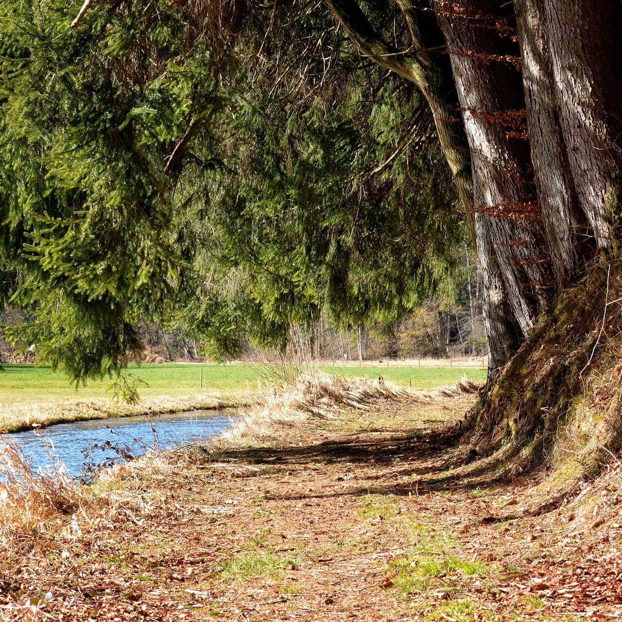
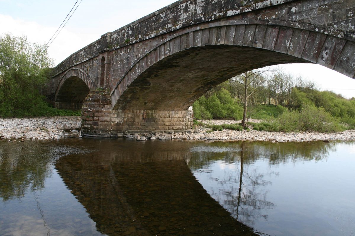
Set in the scenic Liddesdale valley Newcastleton or Copshaw Holm as it known locally is a perfect place to enjoy a range of walks for the outdoor enthusiast or the family.
With numerous local walks around the village and surrounding countryside ranging from 3 km to 18km and forest walks from 0.5km to 9km Newcastleton has something for everyone.
Whether you enjoy a short walk round the village exploring the history of the settlement, a more adventurous walk across the English Border or a trip into the forest to watch the wildlife and enjoy the scenic views – Newcastleton has it all.
Please remember the forest routes may also be used by horse riders and mountain bikers so please be considerate to other users.
So before you put on your boots and set off remember to follow the Country Code and safety information provided.
Follow the country code
- Guard against risk of fire
- Always keep dogs under close control.
- Dogs should be kept on a lead when in livestock areas and during lambing (April / May).
- We advise you not to take dogs through farmland, especially if cattle are present.
- Leave gates as you find them
- Keep to paths across farmland
- Avoid damaging hedges, fences and walls
- Do not leave litter
- Go carefully on country roads – walk on the right to face oncoming traffic
Before setting off on longer walks, always check the weather forecast and prepare yourself accordingly. Remember that hot weather, causing sunburn or dehydration, can be just as debilitating as rain or snow, and carry adequate cover for your body in all conditions when on the hills.
Snow cover on the high slopes should be avoided by inexperienced walkers as it may cover hidden water courses and other pitfalls. Also, when soft, snow is extremely gruelling to cross and can sap your energy very quickly. The other weather problem that might be encountered is mist which can appear swiftly and cut visibility to a few yards. So always carry a map and compass when on the hills. On longer hill walks you should always wear or carry good waterproofs, proper walking boots, windproof clothing and take food and drink with you. Obviously these provisions are not necessary on the shorter low level walks but a light water proof is still worth taking just in case. It is better to be safe than sorry.
Waymarking and maps
Generally the walks described are not fully waymarked on the ground, although this may change in the future. On parts of some of the walks you may come across public footpath signs.
The Ordnance Survey 1:50,000 Landranger or 1:25,000 Explorer maps should be used so that walkers can identify the hills and other points of interest as these are too numerous to include here.


